
Mekong at Risk
THE QUESTION
Can satellite-based mapping and hydrometeorological data identify communities exposed to mining contamination and guide targeted interventions?
LOCATION: Mekong Region
SECTOR: Health
TECH: AI, Satellite Data
TIMELINE: January 2026 - Present
PARTNERS: TBD
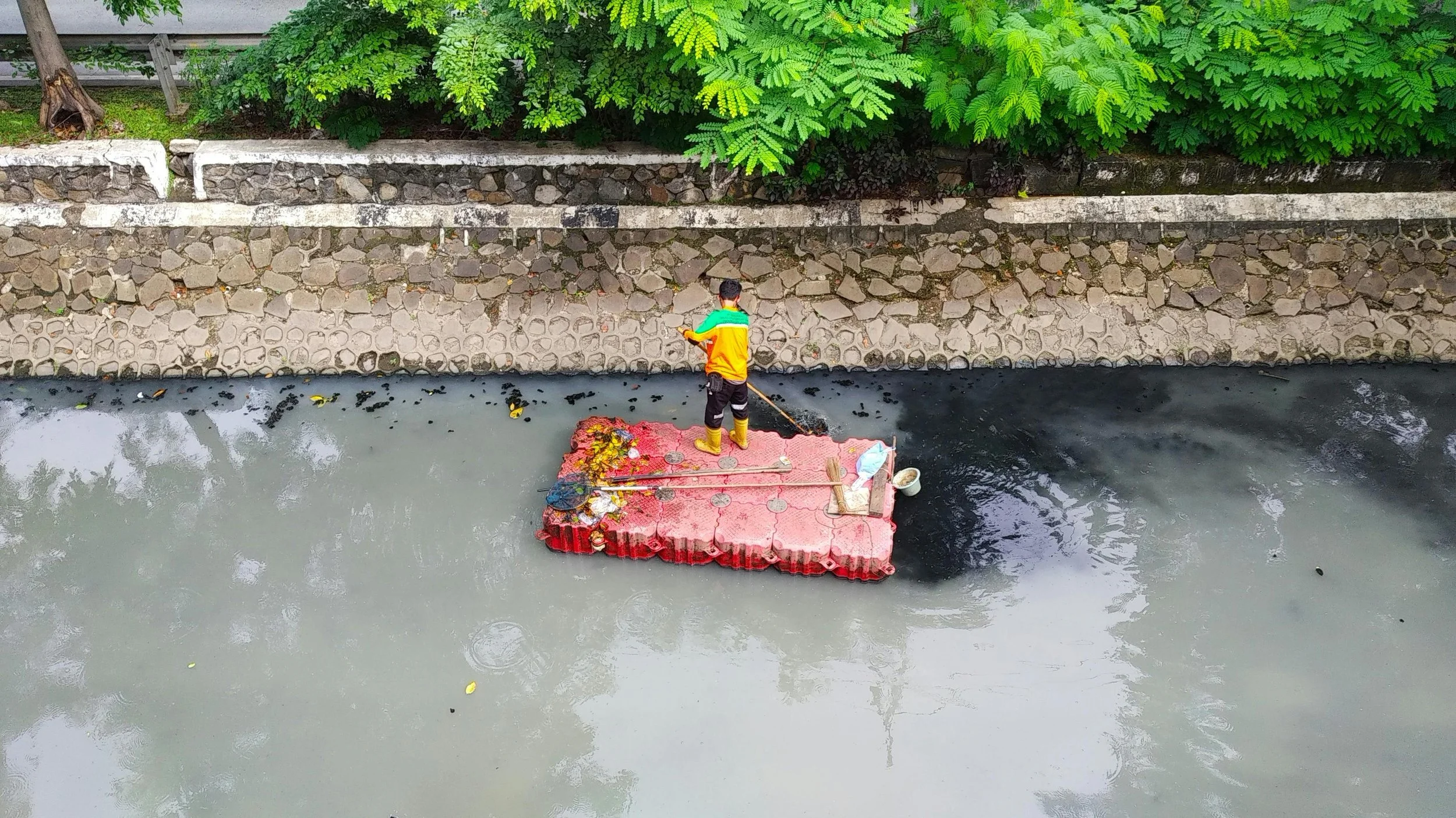
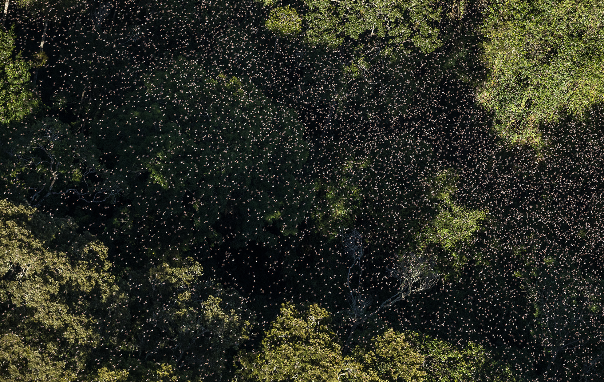
Hundreds of mines release heavy metals into rivers during floods, threatening the millions who depend on the waterways, yet the scale and location of contaminated communities remain unknown. Using satellite imagery to track flooding patterns, this project will identify which communities face the greatest toxic exposure to guide health interventions and avoid contaminated agricultural areas.
Our learnings and stories so far
This pilot hasn’t started to publish yet, but there are plenty of other blogs to read below. Check back soon!
Blog


We're offering catalytic grants of £15,000 – £20,000 to help ventures and organisations with solutions to address financial resilience of farmers, fishers and food businesses across Southeast Asia.