
MapAid: Predicting Groundwater Depth
THE QUESTION
Can machine learning predict groundwater levels accurately enough to reduce failed well drilling in drought-affected communities across Ethiopia?
LOCATION: Ethiopia
SECTOR: WASH
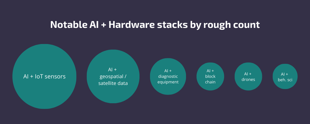
TECH: Artificial Intelligence
TIMELINE: August 2025 - Present
PIONEER: Martha Solomon
PARTNERS: Global MapAid
The Challenge
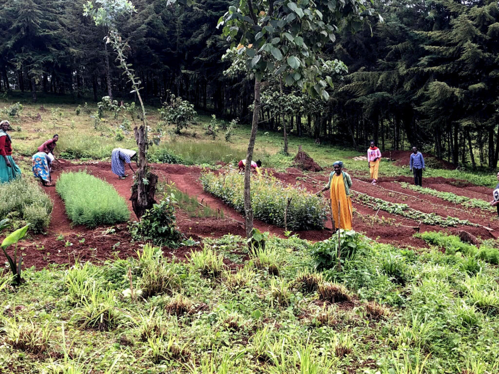
In drought-affected regions of Ethiopia, access to reliable groundwater is a matter of survival. Communities across Sidama, Gamo, Gofa, Oromia and Somali regions depend on borehole wells for drinking water and agricultural use, yet the process of deciding where to drill remains costly, slow, and highly uncertain. Current approaches rely on expensive geophysical surveys and traditional hydrological methods that are slow to deliver, not joined up across regions, and often inaccessible to the organisations that need them most.
Drilling failure rates are significant, reaching as high as 70% in lowland areas and 50% in highland areas, and the costs are steep. A shallow well costs around $2,000 and a deep well can reach $150,000. When drilling fails, communities go without water and budgets are wasted.
The root problem is a lack of accessible, unified groundwater data. Static water level records exist across dozens of government ministries, NGOs, universities, and drilling companies, but they are fragmented, inconsistent in quality, and rarely shared for a common purpose.
The Idea
MapAid set out to test whether AI and machine learning could transform the way groundwater locations are identified, using existing publicly available geospatial data combined with historical well records to produce accurate predictions of groundwater depth at scale.
The team built a prediction engine on cloud infrastructure, drawing on algorithms developed through PhD research at George Mason University. The system integrates multiple categories of geospatial data including terrain, land cover, seasonal precipitation, soil, vegetation indices, and land surface temperature, with static water level records sourced from multiple organisations. Machine learning models were trained and validated using spatial cross-validation to ensure predictions generalised reliably across different geographies.
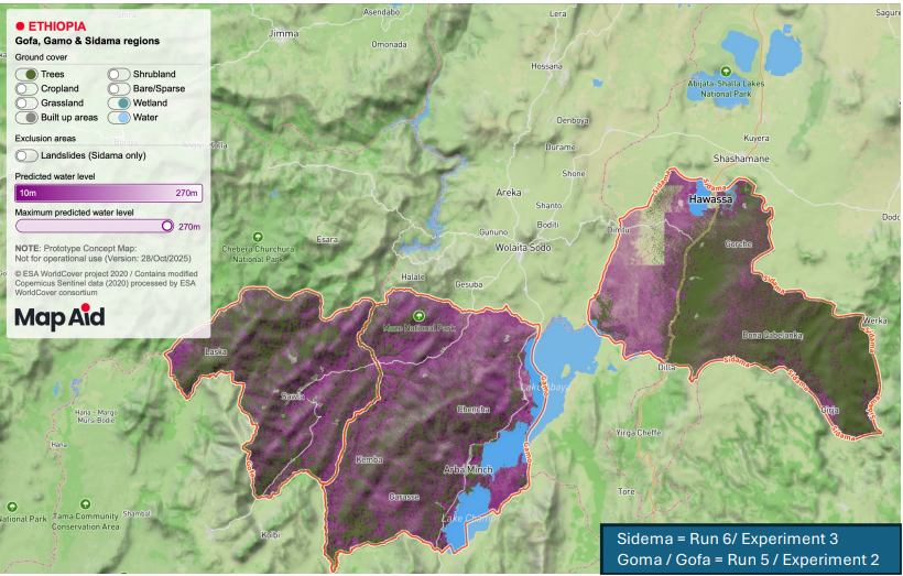
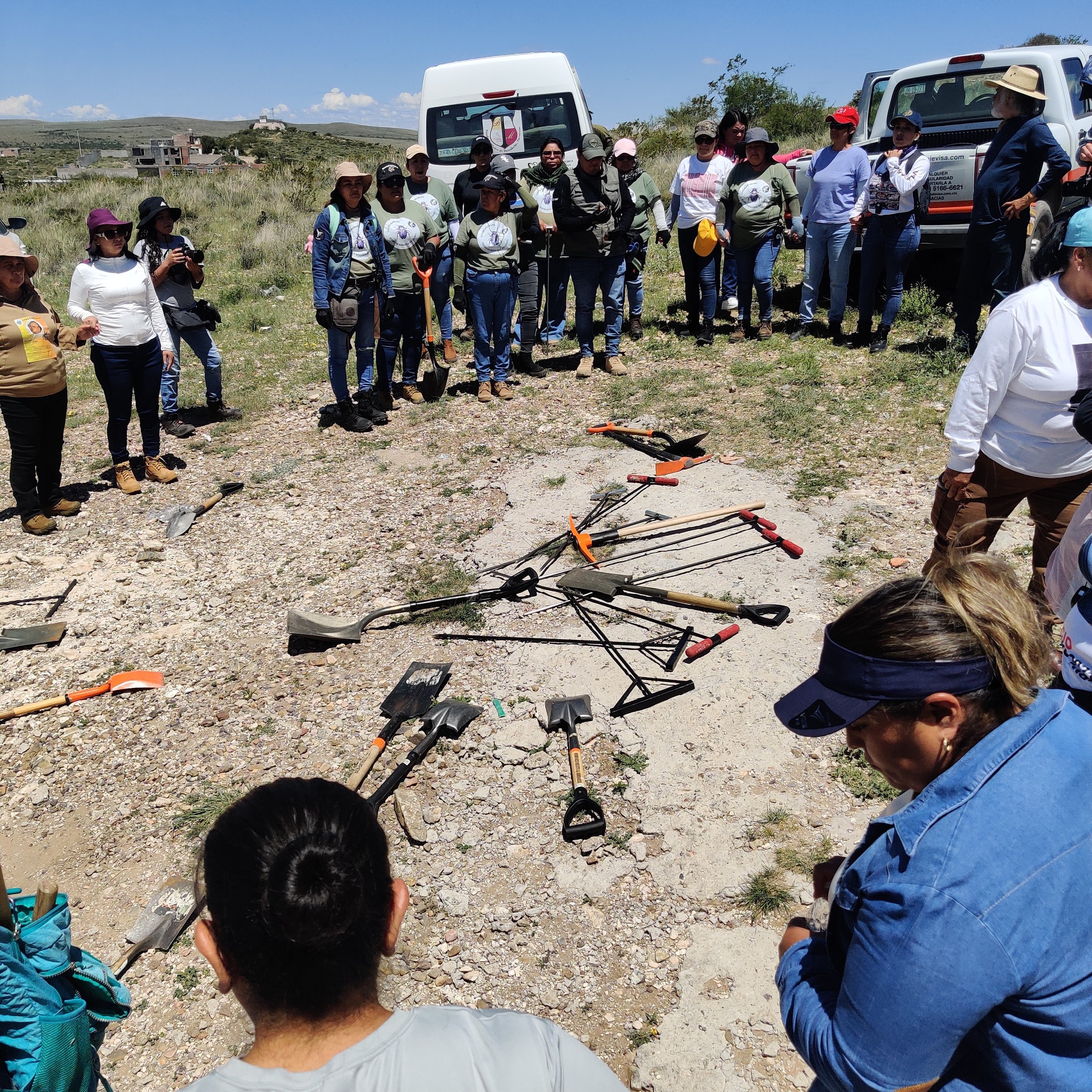
To validate the approach with real-world data, a ground-truthing team was deployed into Gamo zone to collect independent static water level measurements across lowland, midland, and highland settings, which were used to test model performance against conditions the models had never previously encountered.
The initiative also began developing WellLite, a handheld mobile application for structured field data collection, and WellMapr, an interactive online map allowing users to visualise groundwater depth predictions at high resolution, ultimately enabling drillers, NGOs, and water bureaus to identify promising drill sites quickly and at far lower cost.
What We’ve Learned
The project produced strong results across the Gamo, Gofa, and Sidama regions, where models achieved a high level of predictive accuracy using only satellite-derived and publicly available data. Models using the full feature set consistently outperformed simpler baseline models, with seasonal precipitation, land surface temperature, and elevation emerging as among the most important predictors. This points to the central role of rainfall dynamics and terrain in determining groundwater availability across the region.
Engagement with government ministries, NGOs, intergovernmental organisations, universities, and drilling companies confirmed real demand for the solution. The clearest value proposition is for those who fund or carry out drilling: better predictions mean fewer failures and a lower cost per successful well.
What Happens Next
MapAid has secured follow-on funding for a second phase of work focused improving and validating model performance across a wider range of geographies, particularly Somali and Oromia regions which have been identified as priority regions for intervention. In addition, they will be exploring the possibility of incorporate yield prediction into the current groundwater level production model. Priorities in this phase include securing more data from underrepresented areas, deepening potential user engagement, refining the user value proposition, and exploring the business and financial model for this solution, developing a proposal for a sustainable funding model for providing essential information that provides water to drought-prone areas.
The interactive groundwater map for Gamo, Gofa, and Sidama is available as a prototype and will be iterated with users.
ADDITIONAL CONTEXT:
Prior to the pilot with Global MapAid, the FT Hub as part of the country immersion pilot workstream conducted a deep dive into the critical challenge in Ethiopia around access to water in drought-prone areas, and the opportunities for frontier tech intervention to mitigate those challenges. The results from this exploration were validated with a multidisciplinary group of stakeholders in Ethiopia, representing government, international development and humanitarian agencies, civil society actors and WASH sector innovators. The research was foundational to the approach to identifying use cases for frontier tech exploration in Ethiopia’s WASH sector and the call for tech expertise to respond to the challenges identified and validated by key stakeholders.

Our learnings and stories so far
This pilot hasn’t started to publish yet, but there are plenty of other blogs to read below. Check back soon!


AI is a snapshot of the past. Ten years of AI pilots taught us that the constraint is rarely the algorithm.