
AI for reef mapping
THE QUESTION
Can drone imagery and AI map reef health at scale, providing faster, lower-cost alternatives to traditional underwater monitoring in the Caribbean?
LOCATION: Colombia
SECTOR: Nature & Biodiversity
TECH: UAV / Drones, Artificial Intelligence
TIMELINE: January 2026 - Present
PARTNERS: Perry Institute for Marine Sciences
The Challenge
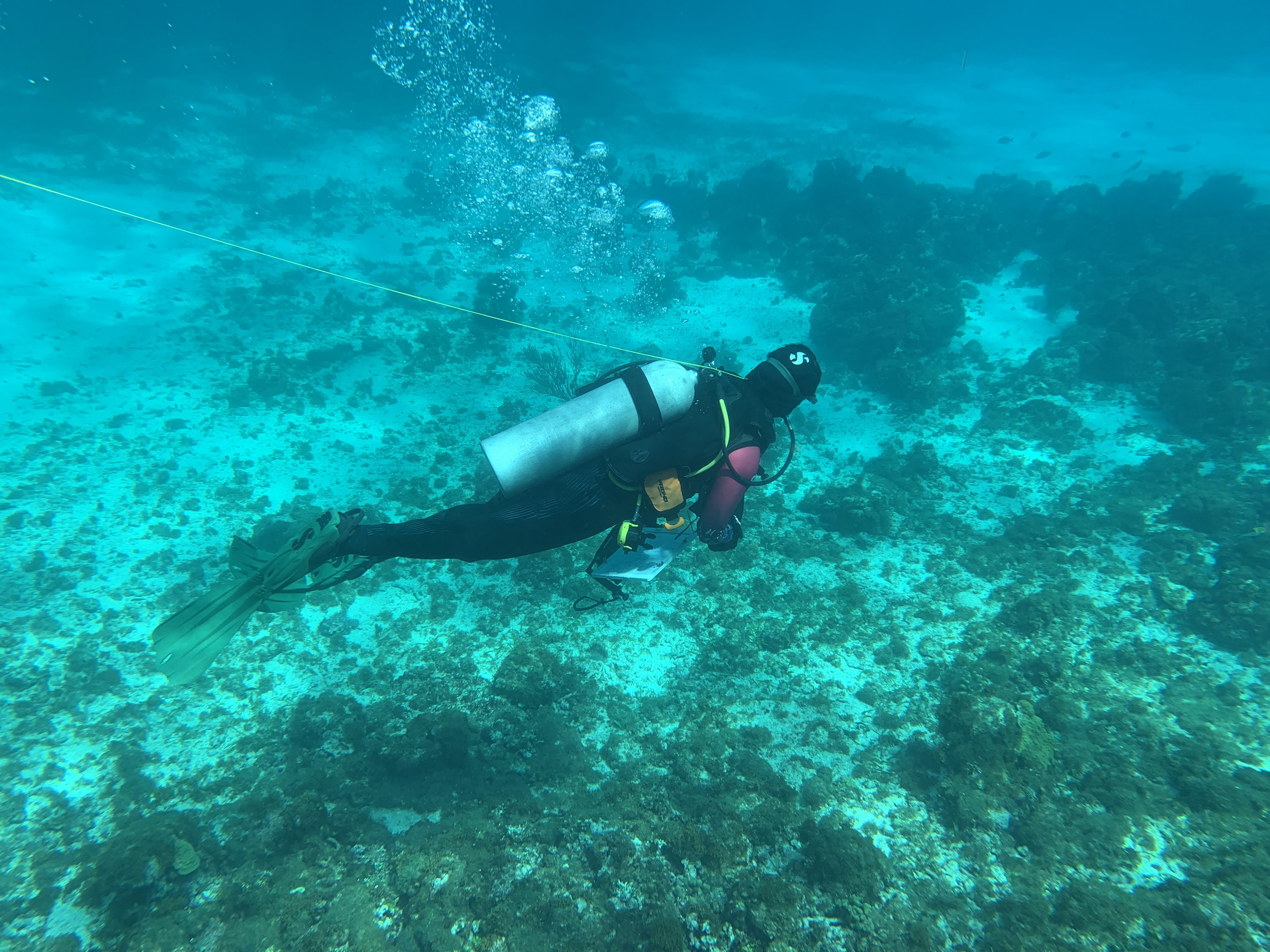
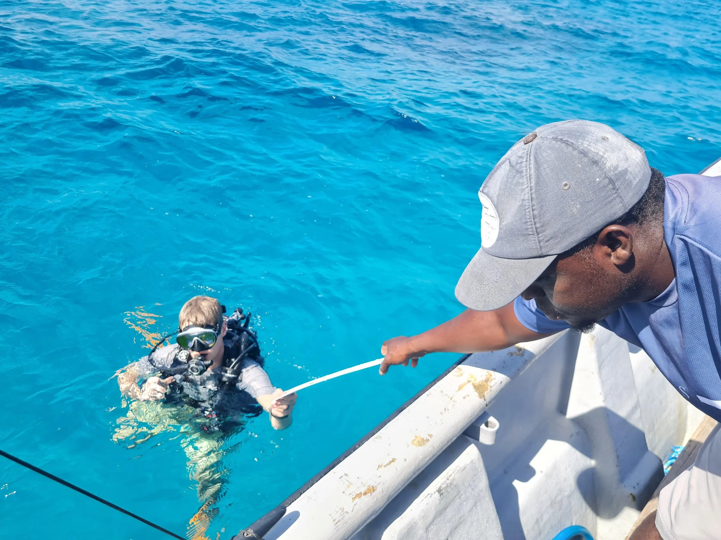
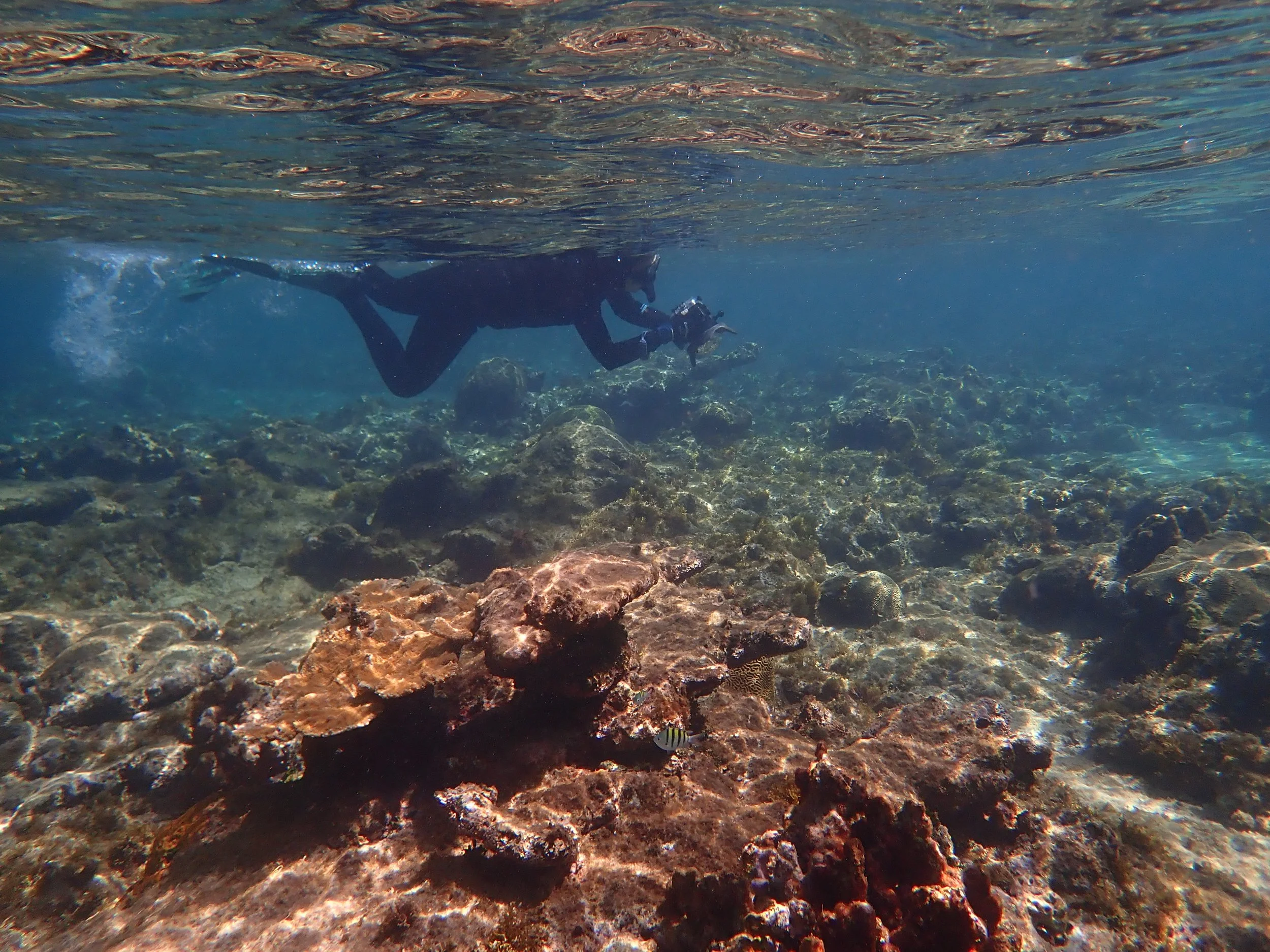
Coral reefs in the Caribbean face mounting pressure from climate change, bleaching events, pollution, and unsustainable coastal development. Yet systematic monitoring of reef health across large and often remote marine areas remains costly, slow, and technically demanding. Traditional survey methods, relying on divers, boats, and fixed sensors, cannot generate the scale and frequency of data needed to guide timely conservation action.
Without affordable, repeatable monitoring, conservation organisations and government bodies struggle to track reef change over time, prioritise interventions, or demonstrate the impact of restoration investments.
The Idea
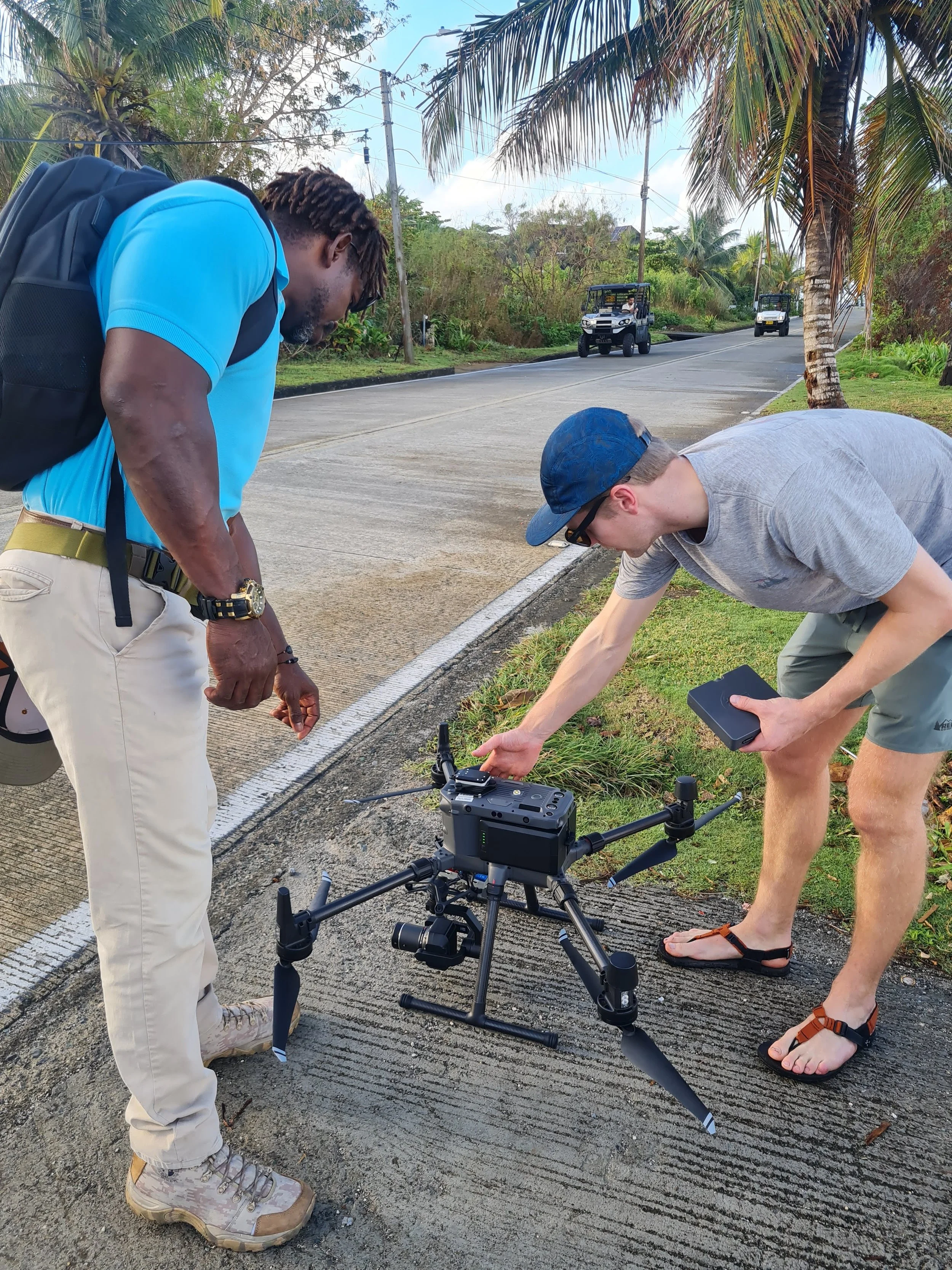
This pilot tests whether drone imagery combined with AI can map coral reef health at scale in Colombia, providing a faster and lower-cost alternative to traditional underwater monitoring. Working in San Andres, the Perry Institute is deploying UAVs to capture high-resolution imagery of Caribbean reef ecosystems, enabling more frequent surveys across larger areas than conventional approaches allow.
The pilot explores whether this technology can generate data of sufficient quality to support reef health assessments, bleaching detection, and conservation planning, and whether the approach can be replicated across the wider Caribbean region.
What We've Learned
During fieldwork in San Andres, the team identified a previously unmapped patch of endangered elkhorn coral, approximately 10 metres across, in an area where the species was thought to no longer exist. This is a significant find. Elkhorn coral is critical to reef restoration and coastal protection, and its discovery demonstrates the pilot technology's ability to generate new, actionable data in a new environment. The technology had previously only been tested in the Bahamas.
The find also confirms the system's capacity to reliably identify and map healthy coral in areas most exposed to climate stress and most critical for coastal protection and restoration. This moves the pilot beyond being primarily a monitoring tool, showing that it has real potential for practical inputs into conservation and restoration efforts across the Caribbean.
What Happens Next
The team is continuing fieldwork and analysis in Colombia, building on the San Andres findings to develop a replicable model for drone-based reef monitoring across the Caribbean region.
Further results will be shared as the pilot progresses.
Our learnings and stories so far
This pilot hasn’t started to publish yet, but there are plenty of other blogs to read below. Check back soon!


What does ethical action look like when humanitarian crises intersect with rapidly advancing technologies? Eight ethical lessons from the frontier of forensic technologies.