
Evidence for accountability: remote sensing to prevent the environment from harms

THE QUESTION
Can we use technologies to detect environmentally damaging activities and help hold governments accountable?

LOCATION: Bangladesh
SECTOR: Climate and Environment
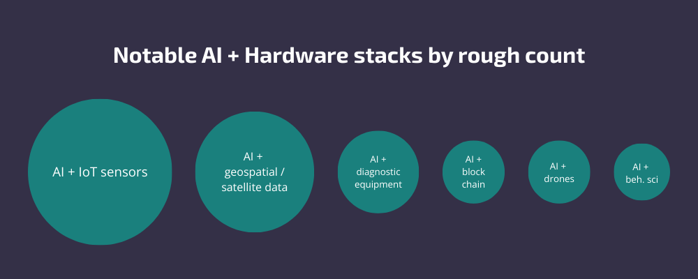
TECH: AI, Big Data, Internet of Things
TIMELINE: September 2024 - Present
PIONEER: Issam Mosaddeq
PARTNERS: Youth Policy Forum
Image credit: Youth Policy Forum, 2025
The Challenge
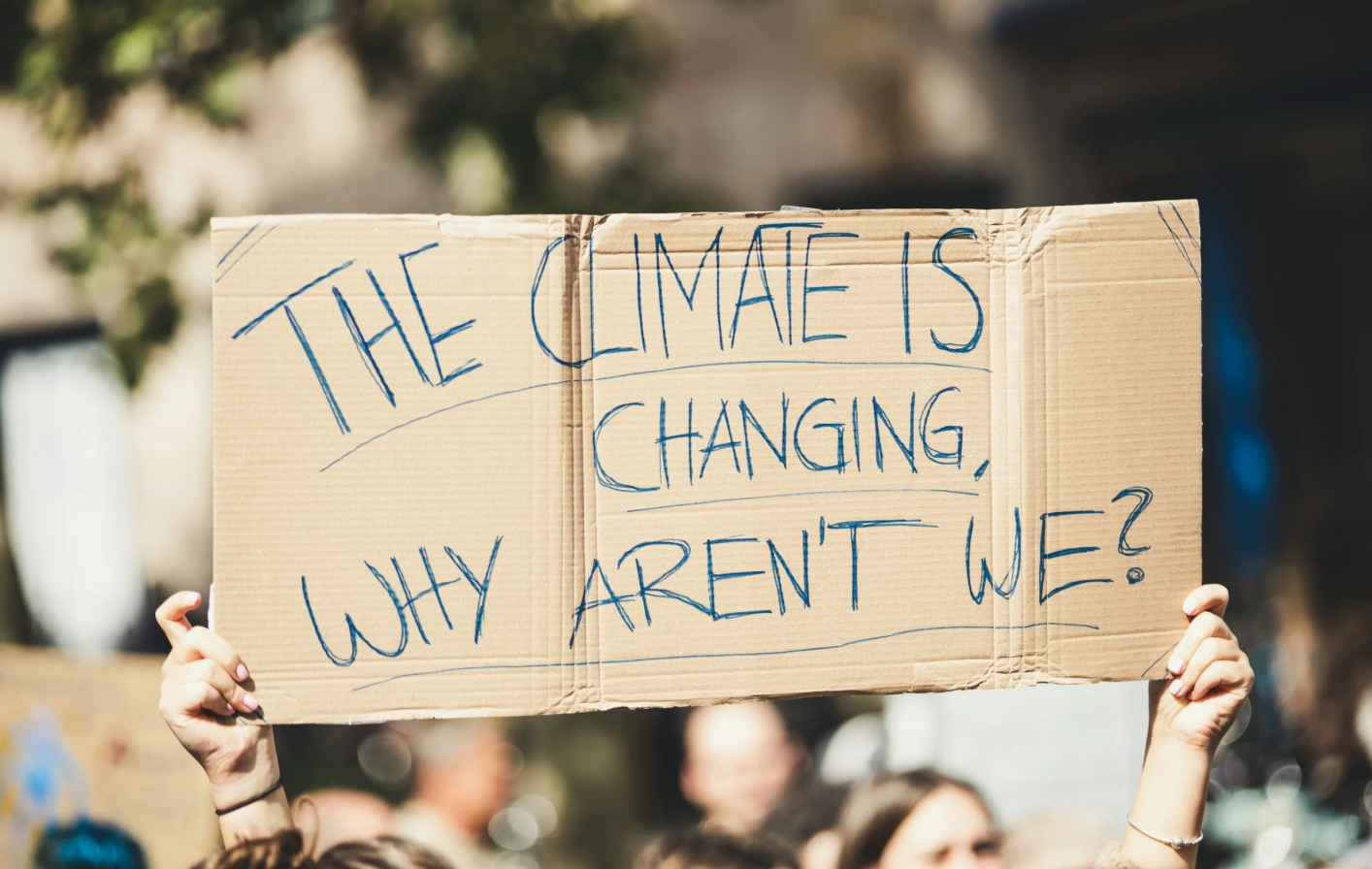
Bangladesh currently ranks as the world’s most air-polluted country, with air quality 16 times higher than WHO guidelines. In 2021 alone, air pollution caused an estimated 235,000 deaths.
Reasons for this problem include illegal brick kilns, deforestation, and river encroachment, all driven by unchecked human activity. Although the Bangladeshi government aims to reduce pollution and protect the environment, weak governance and limited capacity make it difficult to enforce laws or detect violations. Data on air pollution and other harmful activities is scarce, with existing sensors located only in the capital, Dhaka.
The Idea
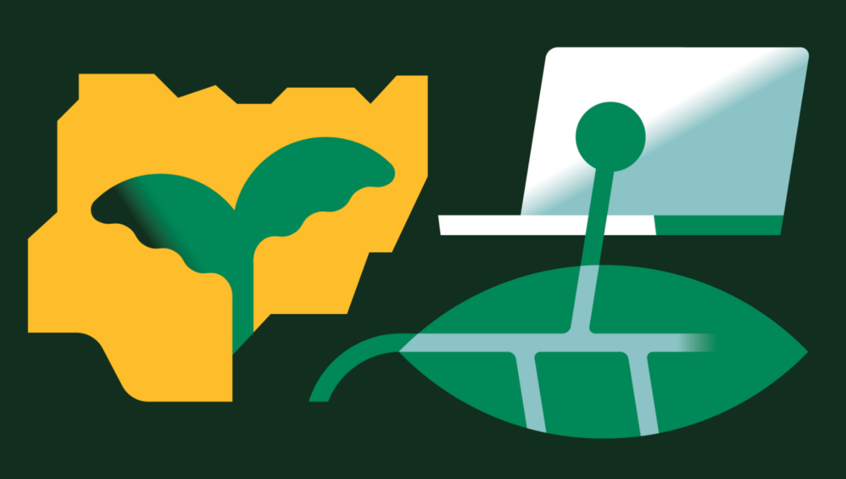
This pilot will test a combination of remote sensing and machine learning technologies to identify environmentally damaging activities. Satellites and drones will monitor land use, air quality, and environmental changes, providing accurate, real-time data. At the same time, AI will analyse the data to detect patterns and pinpoint illegal activities, enabling authorities to act swiftly.
The project will also address the lack of publicly accessible environmental data by creating an open data platform. This platform will:
Allow civil society organisations and citizens to monitor environmental violations.
Empower communities to pressure policymakers and hold governments accountable.
Enable evidence-based prosecution of those breaking environmental laws.
By making this data accessible and actionable, the pilot aims to strengthen governance, reduce environmental harm, and improve public health in Bangladesh.
What Happened
Initially, the Evidence for Accountability pilot in Bangladesh set out to address a critical gap in environmental governance in Bangladesh; namely, the lack of spatial evidence on encroachment to inform and influence decision-making by senior government officials. The initial hypothesis was that improved sensing, GIS, and remote-sensing technologies could generate compelling, geolocated evidence of river and forest encroachment, strengthening the hand of ministries, regulators, and enforcement agencies responsible for environmental protection. Early work therefore focused on understanding the data landscape, testing the feasibility of satellite-derived evidence, and mapping how such information might flow into high-level policy and enforcement processes.
However, through Sprint 0 research, stakeholder interviews, and user workshops, the pilot team uncovered a deeper constraint: the core bottleneck was not the absence of environmental data, but the breakdown in the “evidence-to-action” chain. While spatial evidence of encroachment already existed, it was rarely translated into legal action or accountability due to systemic barriers, including paper-based legal processes, limited public awareness of environmental law, weak coordination, and political sensitivities. One of the biggest challenges identified was how distant communities are from the environmental justice process – at present, citizens cannot file cases directly in the environmental courts of Bangladesh. And when cases are filed – by the Department of Environment in the environmental courts, or by environmental lawyers in the High Courts – tracking enforcement is another big challenge. This learning prompted a strategic pivot away from a primarily government-facing, technology-push model toward an approach that directly addressed how cases are initiated, evidenced, and followed through within Bangladesh’s environmental justice system.
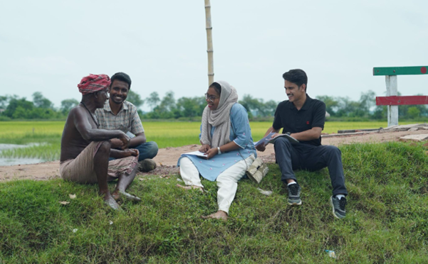
As reframed, the current focus of the pilot is the development of an AI-assisted learning and reporting tool that empowers those closest to environmental harm; affected community members. The tool combines a Bangla-first, anonymous reporting interface with an AI chatbot trained on a bespoke dataset of environmental laws, policies, and encroachment case precedents. Rather than asking users to interpret complex legal frameworks themselves, the system provides plain-language guidance on rights, reporting pathways, and “what now?” steps, while generating structured, verifiable case signals that can be escalated by a trusted network of stewards.
In this way, the pilot has evolved from an upstream evidence-generation concept into a people-centred accountability tool designed to convert public awareness into enforceable action. The emphasis is no longer solely on persuading decision-makers with better data, but on lowering the barriers for communities to engage in the environmental justice process, report violations with evidence, and sustain follow-up through transparent feedback loops. This pivot reflects the Frontier Tech programme’s learning-led approach: adapting the use of frontier technologies, in this case AI and LLMs, to address systemic constraints and unlock access to justice and pathways to environmental justice and accountability in Bangladesh.
Our learnings and stories so far
This pilot hasn’t started to publish yet, but there are plenty of other blogs to read below. Check back soon!


Explore related pilots
Curious about how frontier technologies are providing much-need climate and environment support? Click below to explore our other pilots in this sector. 👇🏽


AI is a snapshot of the past. Ten years of AI pilots taught us that the constraint is rarely the algorithm.