
Project Sapling
THE QUESTION
Can drone-based remote sensing track reforestation programs in Sierra Leone to help increase climate investments?

LOCATION: Sierra Leone
SECTOR: Climate and Environment
TECH: Drones and UAVs
TIMELINE: September 2022 - September 2024
PIONEERS: Christina Toepell, Kate O'loughlin
PARTNERS: Crown Agents SL, UAVaid, Tacugama Chimpanzee Sanctuary
The Challenge
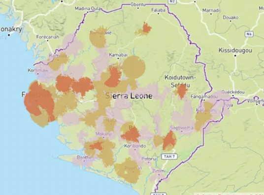
In 2010, Sierra Leone had 5.43 million hectares of tree cover–75% of its land area. The country’s rainfall makes it an ideal place for a global carbon sink. However, deforestation rates remain high, driven by high rural poverty rates. Widespread deforestation has led to several fatal landslides, which killed 1,141 people in 2017. The market for carbon credits and other climate financing has not taken off yet in Sierra Leone due to challenges in verifying tree planting reliably and at scale. This is especially worrying at the community level, where community members could be encouraged to grow and protect tree saplings with financial incentives from the carbon market.
The Idea
The pilot proposed will use drone-based remote sensing and data management technologies to verify the success of reforestation programmes in Sierra Leone. This will be used to reduce funder hesitancy in reforestation initiatives by improving the data available to verify reforestation activity. To do so, the pilot will use long-range drones to map reforested areas with a high resolution (2.5cm/px) RGG photographic survey (upgradeable to Normalised Differential Vegetative Index (NDVI)). Communities will be supported to geotag tree saplings on planting with the data being brought together into a Geographic Information System (GIS) platform to allow for the mapping and monitoring of growth. The data will be open source and accessible globally to enable virtual inspections to verify activity on the ground that can be used to generate carbon credits, increasing transparency to reduce investor hesitancy. The financial incentive will need to be greater than the reward received for chopping down trees for firewood or charcoal but, if successful, funding could be reinvested back into reforestation expansion, creating a positive impact on carbon reduction, local livelihoods and climate resilience.


The World Bank calls carbon markets "essential for accelerating climate action in developing countries," but can ambitious frameworks deliver for the communities they're meant to serve?