
Nairobi 2045: a field trip to the future
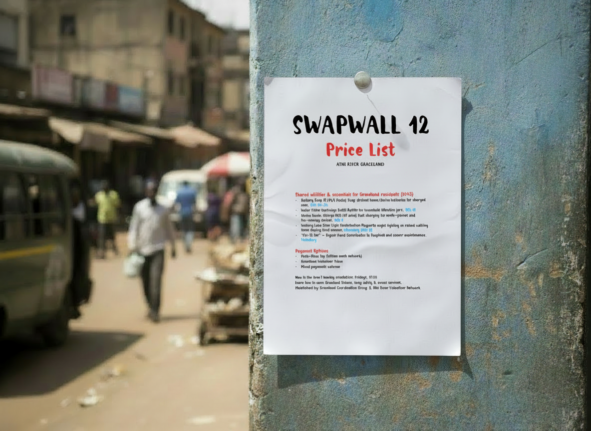
John Kamau lives in one of Athi River’s older settlements, a cluster of homes shaped by floods and repairs. He checks the painted flood marks on his wall, a family routine. Last night’s water rose high but didn’t breach. Outside, neighbours queue at the battery-swap wall. John’s repair shop, a corrugated shed patched with decades of improvisation, is a neighbourhood anchor. Here he fixes water pumps, solar lamps, filtration jars; and trains teenagers on basic circuits. Today several pumps arrive from the riverbank settlement, clogged with grit from the night flood. Youth volunteers gather, ready to learn.
By 2045, Athi River is now part of the Nairobi megaregion (some economists and planners now refer to it as the Lake Victoria urban region). Nairobi’s edges have dissolved into a continuous, improvised urban belt stretching into Machakos County. Around Athi River, factories, apartment blocks, self-built neighbourhoods and flood channels press tightly together. Governance hasn’t kept pace. Machakos and Nairobi overlap awkwardly, each responsible for different bits of the same expanding city.
Later that morning, John leaves for the joint county governance meeting. It’s only a five kilometres away but transport infrastructure has not kept up with urban sprawl and ends up taking John an hour. These meetings are common as decentralisation and participatory governance push more decision-making to neighbourhoods. Today’s agenda is ambitious: formalising community-run energy micro-grids so households can share solar capacity during outages. Everyone agrees it would help. But Machakos wants Nairobi to authorise electrical safety standards first; Nairobi insists Machakos should certify anything built on its side. No one has the mandate to bridge the gap. There is goodwill but the structural barriers are deep.
Aisha Mwende, Machakos County’s Climate & Innovation Lead, reviews overnight sensor feeds. Several river-level gauges built through local cooperatives stopped transmitting during the storm. Her daughter joins others on the elevated walking lanes - high-density recycled polymer paths that hover above the flood zones, now standard across urban areas.
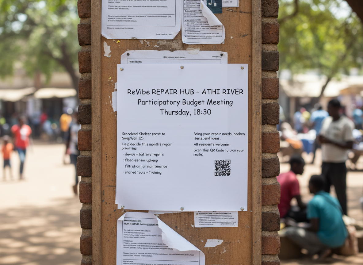
Aisha faces a resource decision. Machakos has ten micro-flood kits left - portable barriers, raised-floor mats, and crank pumps that can protect about thirty households per kit. Athi River’s lower banks need them urgently. But county leadership is pushing to allocate two kits to the settlements housing workers for a new green-cement corridor. Aisha knows those settlements are vulnerable too - but the flood projections for Athi River are stark. She signs off all ten kits for Athi River and messages the local organiser: “Deployment tomorrow. Volunteers needed.”
At dusk, John passes the community notice board - a collage of the city’s everyday rhythms - and sees “Kits confirmed for Athi River - prep crew meet 9am.”
Ask yourself the following questions about Patchwork City:
What forces and choices shaped this future? What major trends, decisions, or shocks over the past 20 years most likely led to this version of the city?
Where were the turning points? At what moments could the city have taken a different path - and what might have changed the outcome?
Which innovations or policies seem to thrive in this urban environment - and which struggle to take hold?
What does this future mean beyond Nairobi? Does this feel like a likely path for many cities, or something shaped by Nairobi and Athi River’s unique context?
You’ve chosen Patchwork City. This is one of three Urban Futures scenarios exploring how Nairobi could evolve by 2045 - Click below to choose another scenario.