
Machine Learning for Classifying Road Conditions in Tanzania
Can a combination of machine learning and high resolution images produce an accurate depiction of road conditions in Tanzania?

LOCATION | Tanzania
SECTOR | Infrastructure
TECH | AI & Machine Learning
TIMELINE | January 2017 - November 2019
PIONEER | Tim Bushell
PARTNER | N/Lab at the University of Nottingham
The Challenge
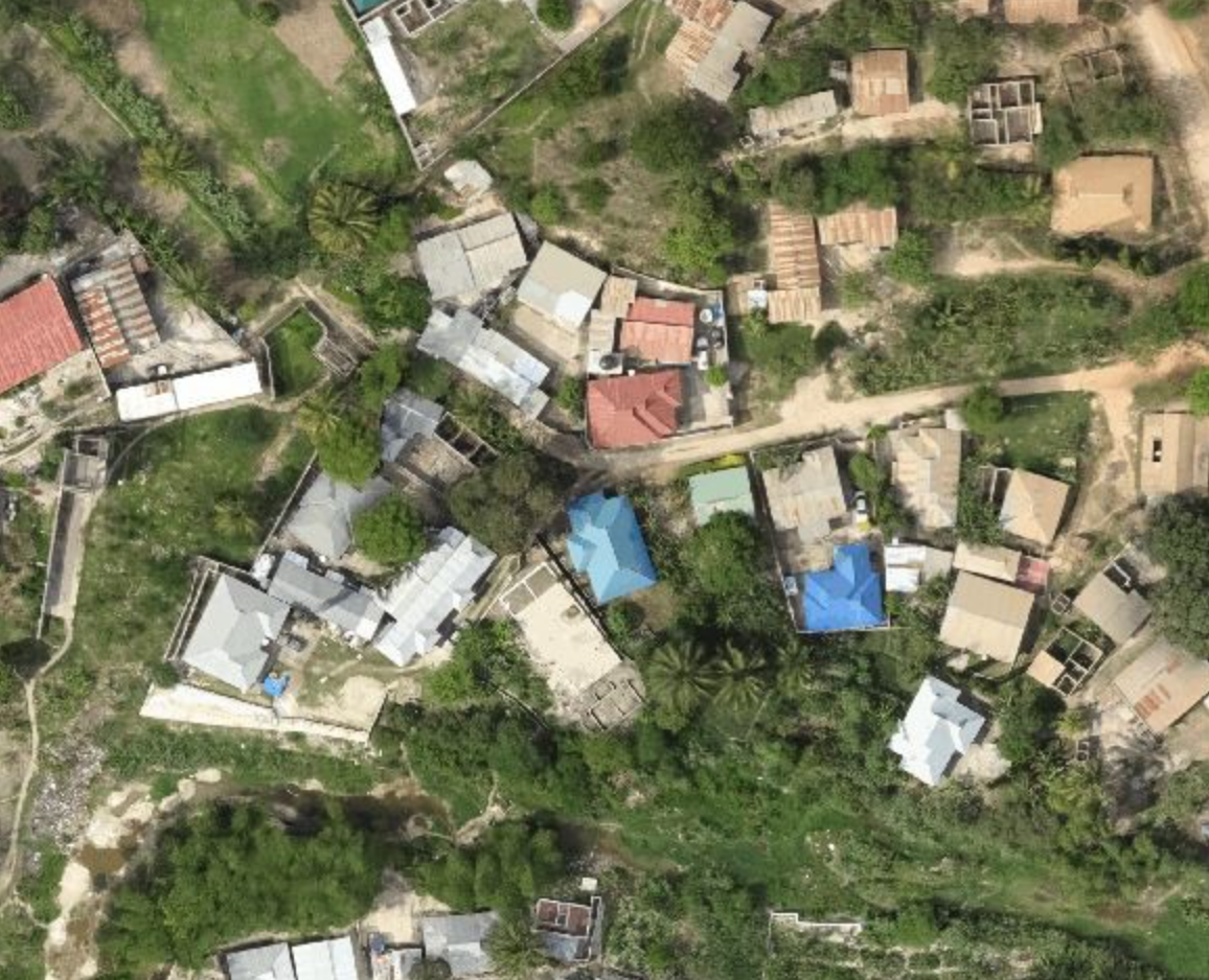
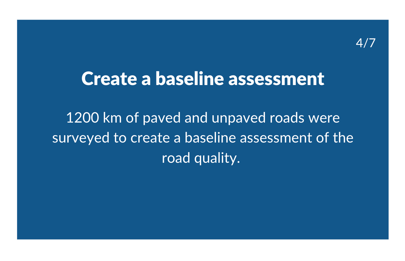
A majority of Tanzanian roads are unpaved and in poor condition, which can hinder economic activity and physically isolate rural communities. The island of Zanzibar suffers from poor infrastructure, demographic pressures, and severe tropical rainfall. Accurate assessments of road conditions are crucial in helping decision-makers best allocate resources, yet is extremely costly and time consuming.
The Idea
With the decreasing costs of satellite imagery and Unmanned Aerial Vehicles (UAVs, or drones) and advances in Artificial Intelligence, there is potential to develop an automated system to catalogue road networks, diagnose their condition and automatically update entries. This technology would ideally fit within the existing government systems on the island of Zanzibar in Tanzania.
The Scaling Journey
What we learned
Successful government engagement through collaboration with the Department of Roads made this pilot possible and allowed the local stakeholders to co-create many elements of the pilot.
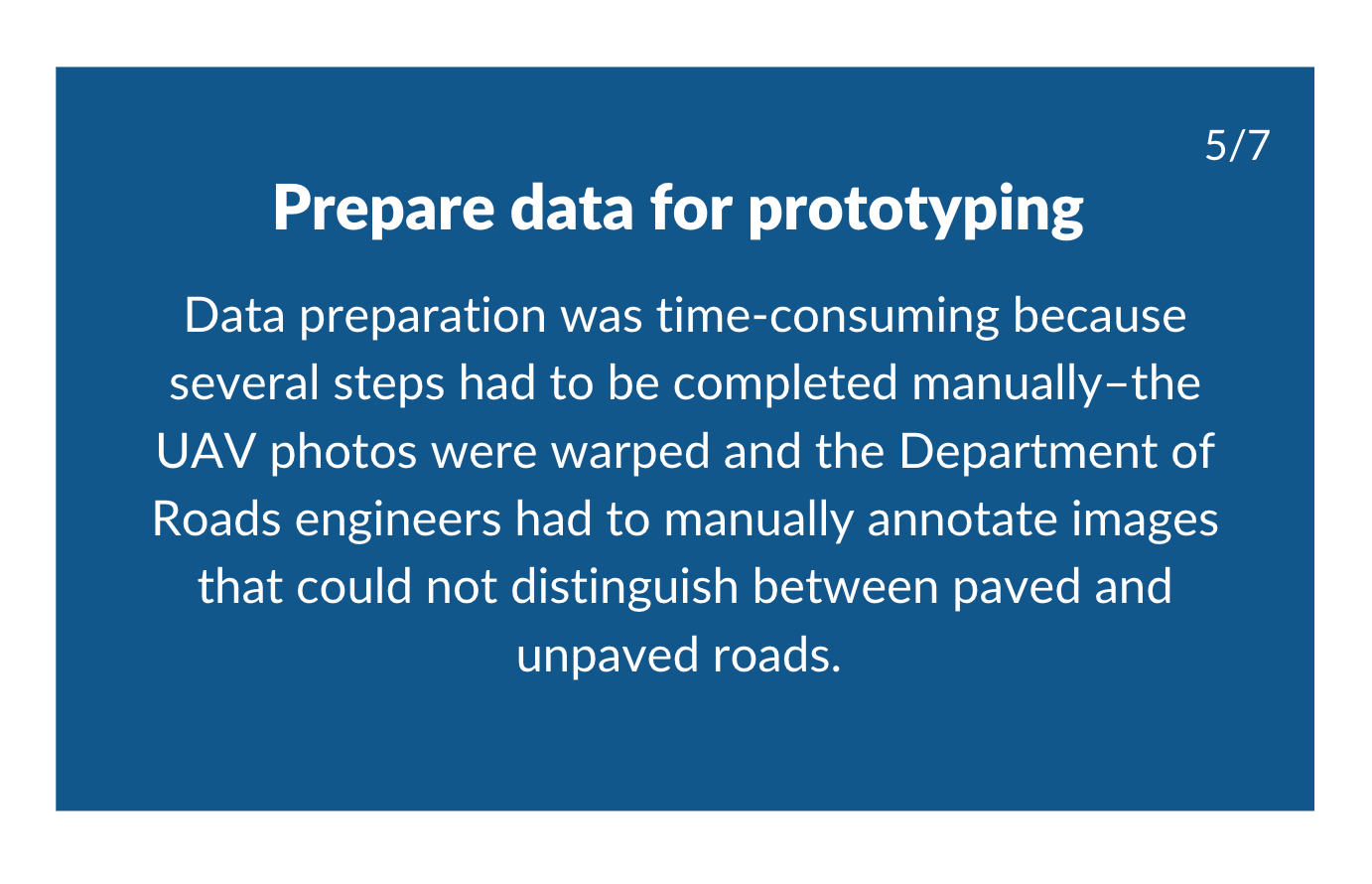
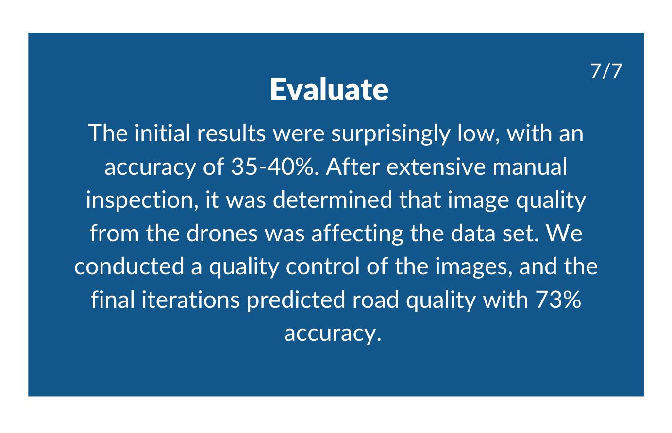
Images captured by drones are unpredictable and are often warped or overexposed. This was out of the control of the pilot team but caused significant challenges to the tech deployment. Performing quality control on drone images, though time consuming, was successful in improving the accuracy of the model. This technical expertise needed to perform quality control constrains the ability of this technology to be scaled-up.
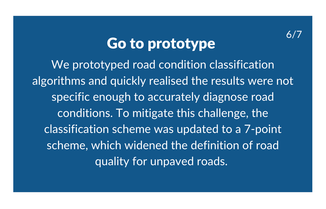
Classification systems do not “fit all”. The initial 5-point classification system was adapted from more developed countries and in practice was unsuitable to inform the baseline assessment of roads in Tanzania. Because of this, we had to create a new classification system that was better suited for the informal and formal roads in this context.
This pilot was made possible by open data. While the data inputted was derived from open data sources, openness was a priority for outputs too. This allowed for us to improve upon existing datasets and make the data AI ready, which has vastly improved the road network dataset that can be continually used by the community.
Even though the pilot didn’t achieve all of its objectives, it proved that the technique of using AI and machine learning to catalogue road networks is possible and can fit within and complement existing government structures.


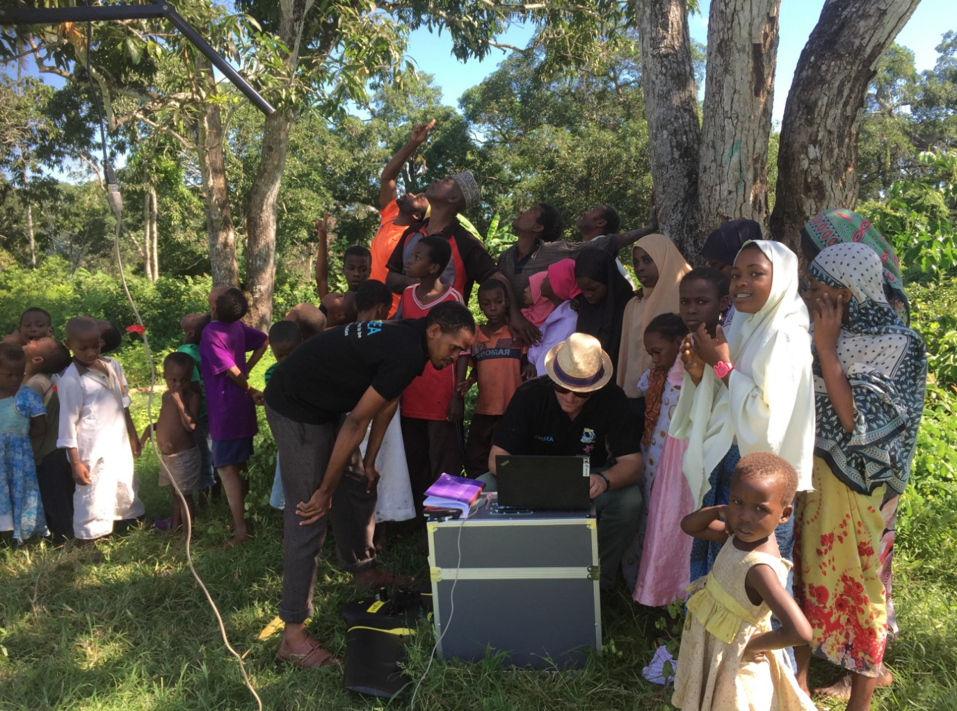
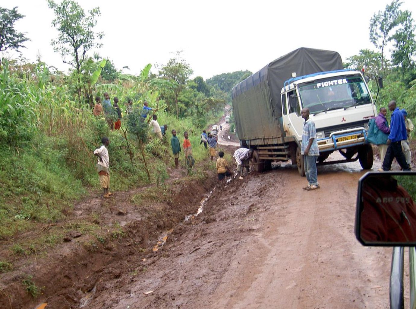
All photos on this page were taken by the pilot’s implementing partner, N/Lab at the University of Nottingham. What happened next?
Two follow-on projects were being explored after the pilots completion: (1) exploration with Earth Observation data providers to co-develop AI that uses super high-resolution satellite imagery; and (2) a continuing collaboration with Zanzibar’s DoR to use AI models, with video being captured by Go-Pros mounted to motorbikes.
Read more
Learn more about the initial approach — Using Earth Observation & Machine Learning to optimise Road Condition Monitoring in Tanzania
Read the initial pilot announcement — Automated Condition Survey of Low Volume Roads in Tanzania
Watch a video showcasing the pilot at the Frontier Tech Marketplace — Can we train a machine learning algorithm to automatically detect road conditions from aerial imagery data?
Read Part 1 of the N-Labs team’s Analysis of this pilot - Partnerships
Read Part 2 of the N-Labs team’s Analysis of this pilot - When Data Attacks
Read Part 3 of the N-Labs team’s Analysis of this pilot - No-surrender Deep Learning
Read Part 4 of the N-Labs team’s Analysis of this pilot - Turning Models into Interfaces: the Z-Roads system
Read the pilot story